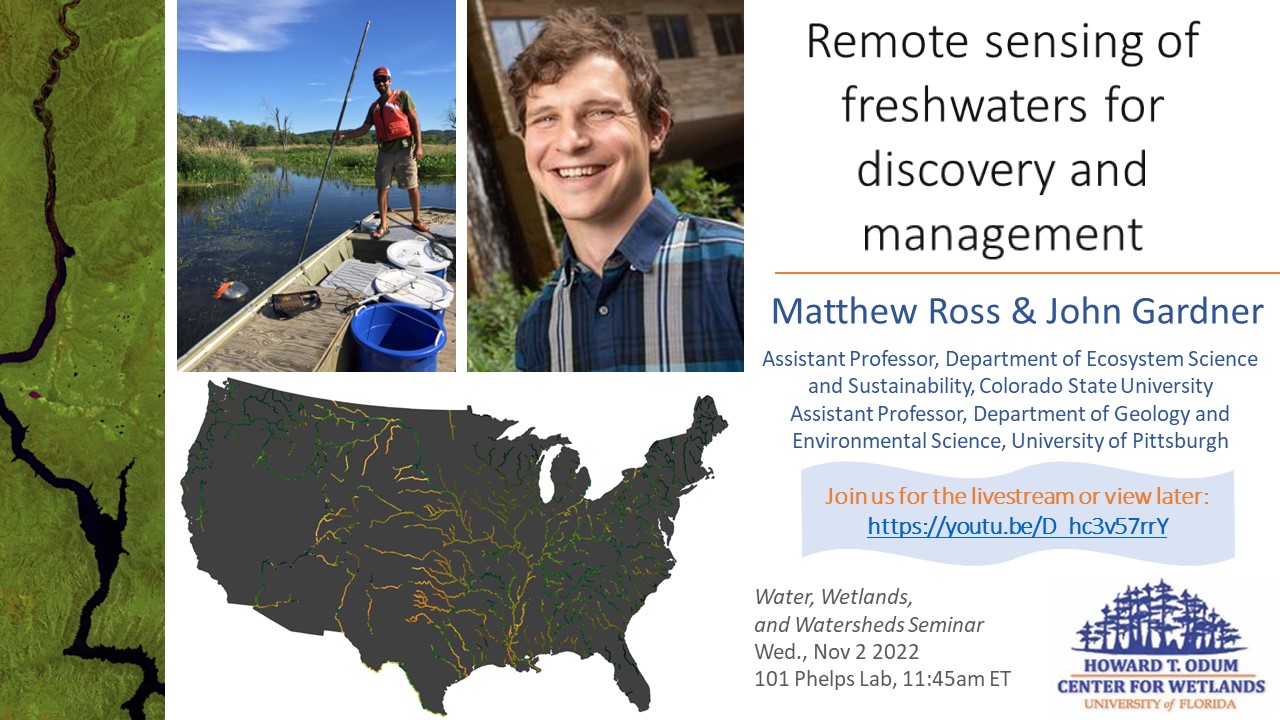
Matthew Ross, Assistant Professor, Department of Ecosystem Science and Sustainability, Colorado State University
John Gardner, Assistant Professor, Department of Geology and Environmental Science, University of Pittsburgh
Join us for the livestream October 26, 11:45am ET: https://youtu.be/D_hc3v57rrY
(Please visit our YouTube channel main page for the stream if there are any issues with the direct link.)
Abstract
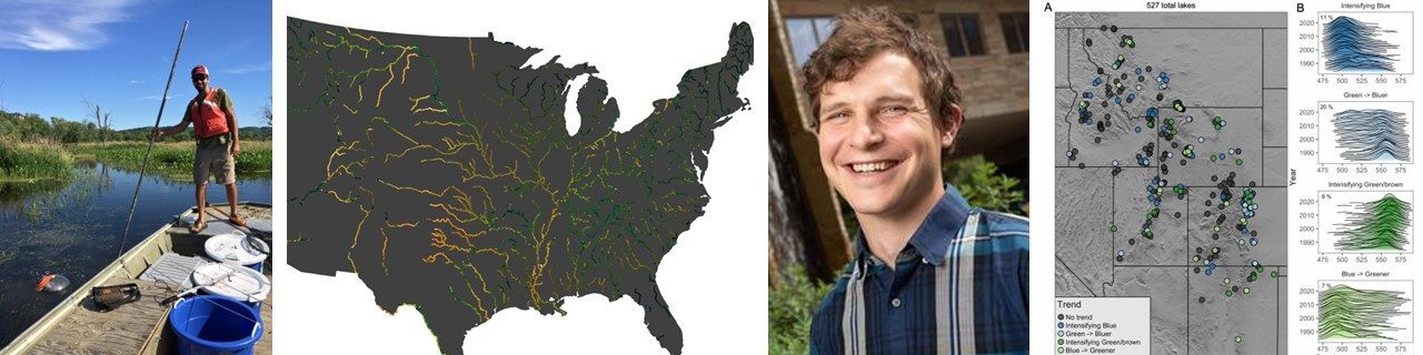
Satellites have been observing Earth for decades and are ever increasing in number, quality, and resolution. The potential of Earth observations for discovery and management of freshwaters has always been known but is increasingly becoming a reality due to historical records of overlapping field and satellite measurements and computational advances. We will discuss how Earth observations can be used for discovery using the diversity of rivers and lakes as a natural laboratory, describe our workflows, and importance of linking Earth observations to hydrography. We will present case studies of what we are learning about rivers and environmental change from suspended sediment observations in rivers, algal blooms in rivers and reservoirs, and long-term color and trophic changes in lakes. We will also describe upcoming national and global data products that we hope can inform freshwater management and scientific decision making alike.
BIO:
Dr. Ross is an ecosystem and watershed scientist primarily interested in improving how we can use data and models to make better environmental decisions. He hopes to accomplish this goal by building inclusive and welcoming teams and approaches that democratize complex datasets and toolchains.
Dr. Gardner is an Assistant Professor in Geology and Environmental Science at the University of Pittsburgh. Formerly, he was an NSF postdoctoral fellow at University of North Carolina and received a PhD from Duke University in 2018. He wants to know everything about Earth’s rivers and surface waters from how rivers meander and move sediment to why algal blooms happen. His group’s current work uses long running, global satellite imagery to develop databases of how rivers and estuaries are changing in size, shape, and water quality.
Postcard